A measured building survey includes a topographic survey of the building footprint, floor plans and elevations, or any combination of these elements to suit the client’s requirements.
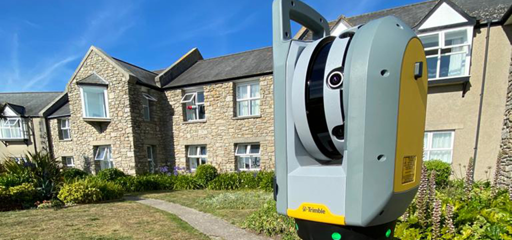
Buildings are often irregular in shape, especially historic buildings that have been altered over many years. We accurately measure and record the shape of the building using a Trimble X7 laser scanner as well as Leica Total Stations and traditional Disto and tape methods.
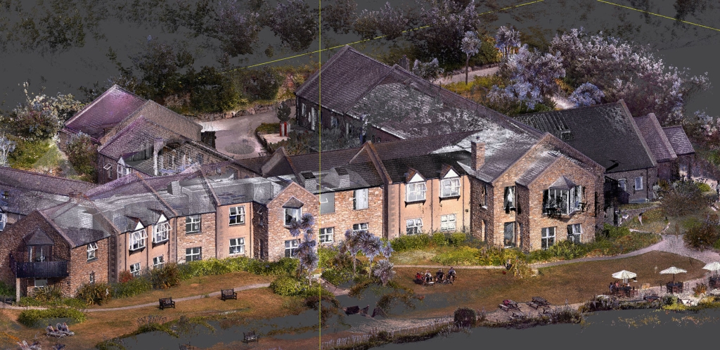
Point Cloud Visualisation
Floor Plans
A standard floor plan will show walls, columns, door and window positions, sill and head heights, overhead beams with heights and floor to ceiling levels, structural elements, door swings, stairs and steps, sanitary fittings and worktops.
If required, we can also pick up and highlight other information such as any electrical and data points, incoming mains positions, plant, fire fighting and detection equipment, security equipment and signage.
Elevations
A building elevation covers the dimensions, levels, materials and any other significant external details. This information can be aligned with a topographical survey or floor plan to produce a concise overview of a building.
An elevation will show the outline of building and roofs, downpipes and gutters, ground levels and steps, doors, windows, ventilation grilles, roof lights, other openings, string courses (projecting or flush), copings, chimney stacks and finials.