A topographic survey accurately plots the natural and man-made surface features of an area of interest. It’s the starting point for any further site investigation, planning or development.
We undertake topographic surveys for projects of varying sizes – from private residential projects to commercial estates and brown field housing developments.
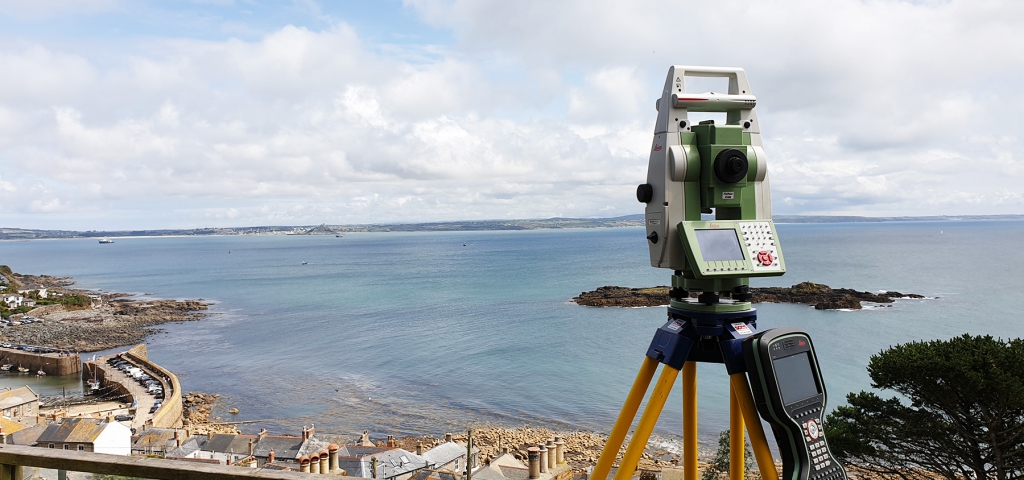
We use a variety of high specification survey equipment including Leica Total Stations, RTK GPS equipment and Survey Grade Drones to collect the data and provide us with sub-centimetre accuracy survey related to Ordnance Survey datum (OSGB36).
Recognised Standards
Our topographic surveys are undertaken according to RICS guidelines (Measured Surveys of Land, Buildings and Utilities, 3rd edition, 2014) ensuring a recognisable and trusted standard of delivery
Survey Deliverables
We issue our survey drawings in standard CAD DWG format in 3D (with Z heights on). We also issue an accompanying 2D DWG and a PDF version.