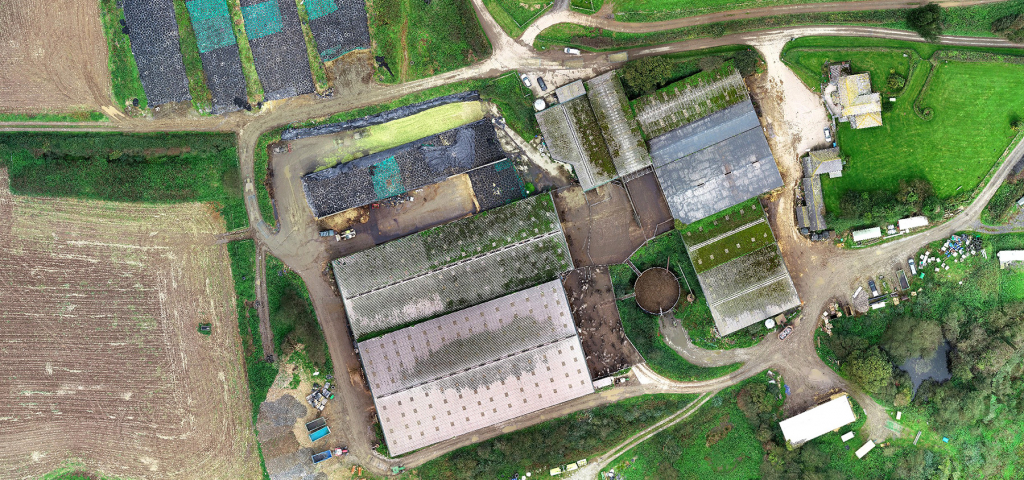
Using a drone equipped with specialist software we are able to capture geo referenced images and 3D data across large areas over a relatively small timescale.
A drone survey is ideal for creating large scale Digital Terrain Models for solar farms, wind farms, new road routes and land management, and for volumetric surveys of stockpile levels in quarries.
Drone & Topographic Combined
We will often use a drone survey in combination with traditional land surveying techniques. Survey detail is picked up with total stations & GPS ensuring high accuracy, and then larger areas of spot levels are captured with the drone survey. This allows a highly accurate survey but reduces time considerably on larger sites.
Safety assurances
Our drone pilot has undergone certified training and holds Permission for Commercial Operations (PfCO) from the Civil Aviation Authority.